

Part of The Janded Journal — stories, guides and local tips for Cabo Verde, published by the Janded Editorial team. Browse more stories.
Santo Antão rises out of the Atlantic like a promise to walkers: knife ridges, sugarcane valleys and coastal trails that end in fishing villages you can only reach on foot.
Why Santo Antão
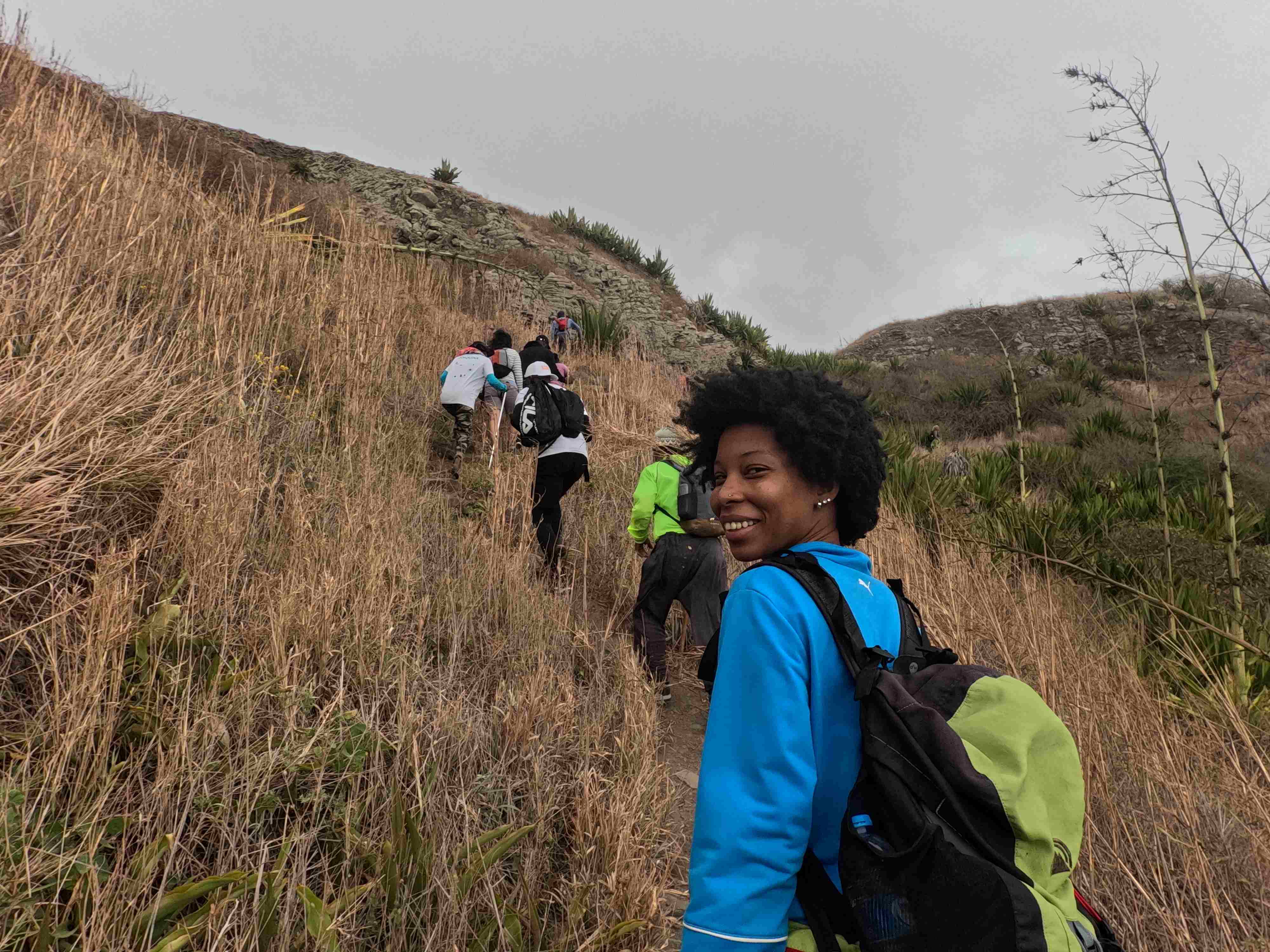
The island is Cabo Verde's green exception. Its north-east catches trade-wind moisture and turns it into levadas, taro terraces and cloud forest. Most hikes follow old footpaths between villages — no technical gear needed, just good shoes and water.
Three routes to start with
- Cova – Ponta do Sol: crater rim to sea, 5–6 hours, gentle descent with sweeping valley views.
- Cha de Igreja – Cruzinha – Ponta do Sol: coastal cliff walk, 4–5 hours, villages and ocean all the way.
- Pico da Cruz: summit morning for cloud inversions, then down through pine forest.
Logistics
Reach Santo Antão by ferry from São Vicente (7am daily, ~1 hour). Stay in Ribeira Grande or on the north coast in Cruzinha or Ponta do Sol. Guides are recommended — they know the shortcuts and the best lunch spot (usually someone's kitchen).
Carry cash, a wind layer and a charged phone. Signal comes and goes; that's part of the charm.
When to go
November–April is cool and clear; July–October is greener and hotter with brief showers that make the valleys glow. Janded's trip checklist will remind you what to pack for the season you pick.
Ready to swap sand for switchbacks? Plan a Santo Antão leg in Janded and add it to your itinerary.